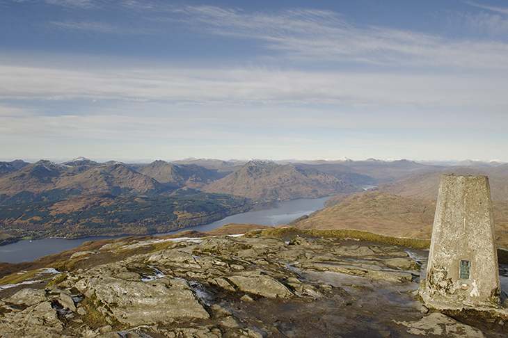
You could say it started because of the French. The turmoil caused by their revolution got the British military worried about the possibility of an invasion, so maps of the ‘invasion coast’ (beginning with Kent in 1801) were produced. Hence the name ‘Ordnance Survey’. Until the 1960s every director general of the agency held an army rank.
Already a subscriber? Log in
Get 10 issues
for $10
Subscribe to The Spectator Australia today for the next 10 magazine issues, plus full online access, for just $10.
- Delivery of the weekly magazine
- Unlimited access to spectator.com.au and app
- Spectator podcasts and newsletters
- Full access to spectator.co.uk
Or
Unlock this article
You might disagree with half of it, but you’ll enjoy reading all of it. Try your first month for free, then just $2 a week for the remainder of your first year.


Comments
Don't miss out
Join the conversation with other Spectator Australia readers. Subscribe to leave a comment.
SUBSCRIBEAlready a subscriber? Log in